 Aguas Calientes City Guide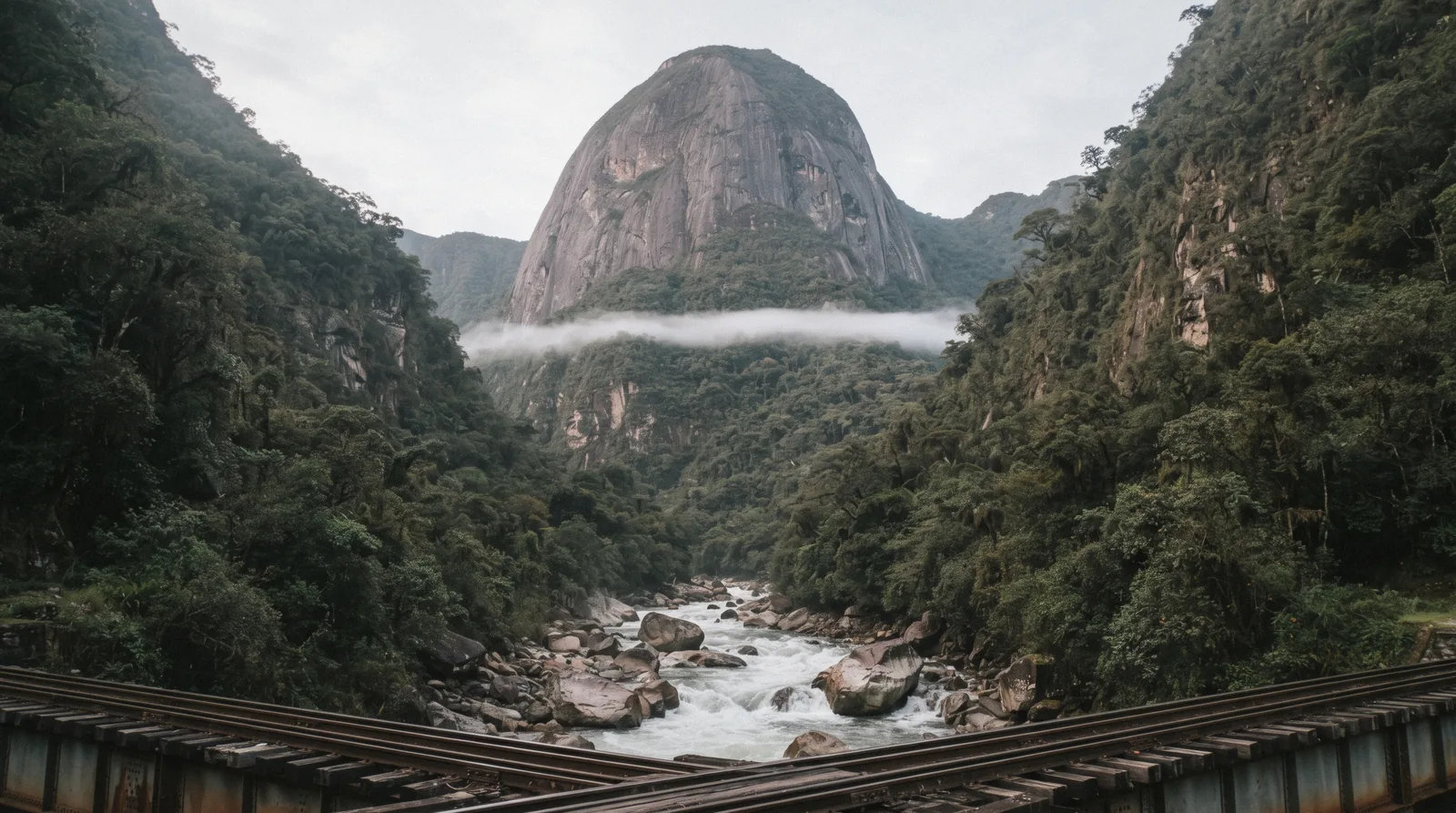
Putucusi Mountain: The Free Ladder Climb Across From Machu Picchu
Putucusi Mountain is the round green peak you see across the Urubamba River when you look up from Aguas Calientes toward Machu Picchu. It is not part of the citadel ticket system and no official body manages it as a named attraction. A rough, informally maintained path with wooden ladders climbs its forested flank to a summit at about 2,560 m, where on a clear day you can look across at Machu Picchu itself. Because nobody official publishes its hours, status or rules, this page tells you what is known, what is not known, and how to check conditions in town before you set off.
Quick answer What is Putucusi and can you climb it?
Putucusi is a round mountain across the Urubamba River from Machu Picchu, with a summit near 2,560 m. An informal trail with wooden ladders climbs it. Entry is free as far as any official source shows, but no official body publishes the trail's current status, so ask in town before you go.
Key takeaways
- Check our things to do around Aguas Calientes before planning your day
- See how the climb fits with a visit to Machu Picchu
- Read our notes on safety in Aguas Calientes if you plan any steep hiking
Key facts
Opening hours
| Trail status | Not officially published |
|---|
Planning it
- Time needed
- Not officially stated
- Address
- Across the Urubamba River from Machu Picchu, Machupicchu District, Cusco Region, Peru
Getting In
Nobody sells a Putucusi ticket. There is no booking system, no published opening hours and no official page that sets terms of access. The table below states that negative finding plainly rather than inventing a product.
There is no ticket to buy and nothing to book for Putucusi. The honest finding is that no official source we checked addresses the mountain at all.
| Option | Price | Status | Source | Book |
|---|---|---|---|---|
| No ticket or booking system foundAny visitor | Free | Not officially confirmed as open or closed | No official page addresses Putucusi | Official site |
The municipality of Machupicchu District, the Ministry of Culture's Machu Picchu pages and SERNANP's Historic Sanctuary page were all searched and none mentions Putucusi or publishes terms for its trail. in Q3 2026
Guided Options Near Putucusi
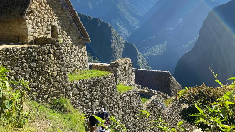
No tour on this site climbs Putucusi, since nobody sells access to an unofficial trail with no published terms. The closest bookable option is a guide for the citadel across the river, for the other half of a day built around the climb.
 from $30.00
Machu Picchu: Group Guided Tour
This is a guide-only group tour, limited to 10 people, and it does not include the Machu Picchu entrance ticket, so book that separately before your date. Cancel up to 24 hours ahead for a full refund, and pay nothing until your spot is confirmed.
Check AvailabilityPrices, ratings and details are the platform's own. Dollar figures are the listed prices. The platform bills in your account's currency.
What Putucusi Is
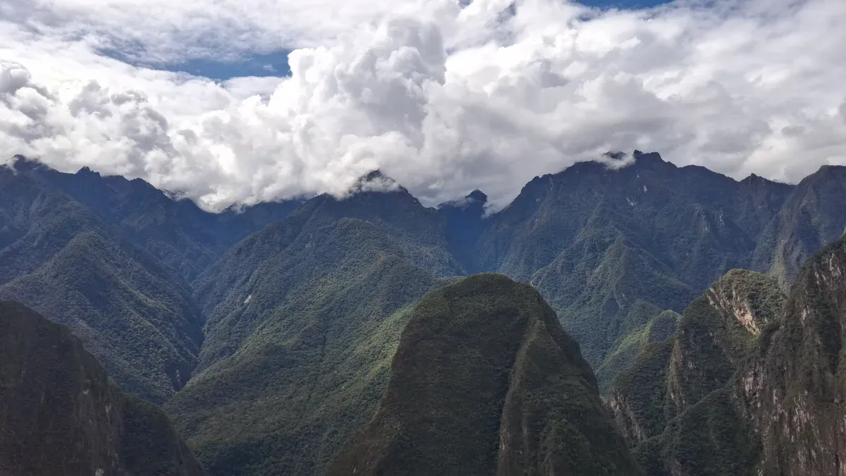
Putucusi (Phutuq K'usi) seen from Machu Picchu. Photo: EASLYHAKS, CC BY-SA 4.0, via Wikimedia Commons
A Sacred Round Peak With A Friendly Name
Putucusi is a Quechua name usually explained as coming from phutu, meaning bud, and k'usi, a small squash or zucchini species, giving something close to budding zucchini. Quechua guides in the area also gloss it as Happy Mountain. The name suits the shape.
Unlike the sharp peaks of Machu Picchu, meaning old peak, and Huayna Picchu, meaning young peak, Putucusi is distinctly round, a forested dome rising from the valley floor. Per Wikipedia, its summit stands at approximately 2,560 m above sea level, several hundred metres above the town of Aguas Calientes at 2,040 m. The mountain sits on the northeast side of the Urubamba River, directly opposite the Machu Picchu citadel, in the Cusco Region.
Local Quechua people consider Putucusi, Machu Picchu and Huayna Picchu together to be apus, holy mountains. That spiritual weight is easy to forget when you are staring at a green bump, but it is part of why the mountain matters here.
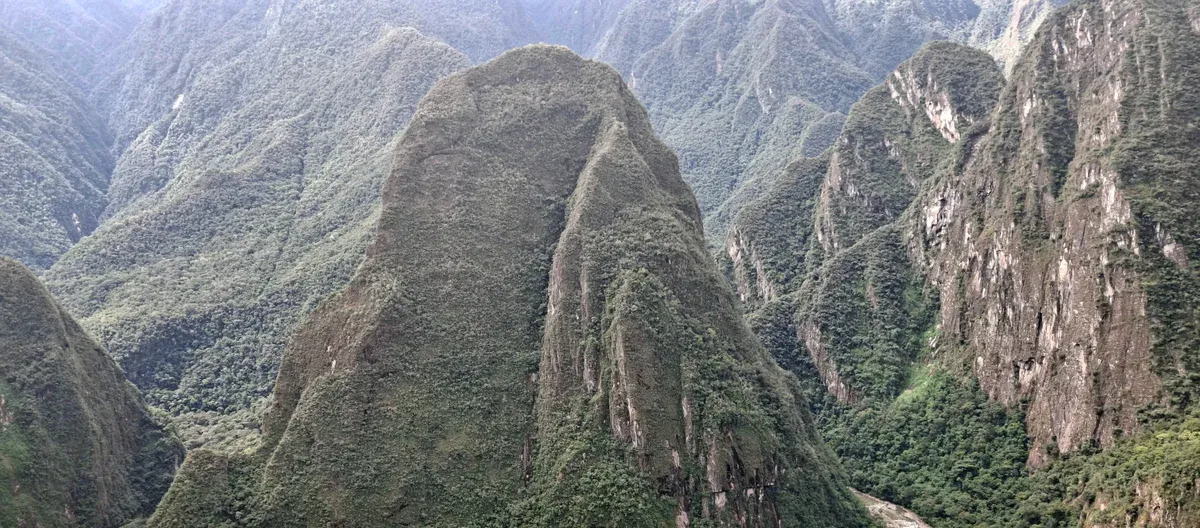
Putucusi (Phutuq K'usi) viewed from Machu Picchu across the Urubamba valley. Photo: EASLYHAKS, CC BY-SA 4.0, via Wikimedia Commons
No Inca Ruins, Just Cloud Forest
Unlike its two famous neighbours, no Inca structures have been found on Putucusi. Multiple independent sources repeat this point, so it can be treated as settled. There is no temple, no terraced citadel and no archaeological circuit at the top.
What the mountain offers instead is cloud forest. The slopes carry abundant subtropical vegetation, and orchid species and birds are reported along the route. This matches the wider ecology of the Historic Sanctuary of Machupicchu, a protected area of 32,592 hectares of cloud forest that SERNANP manages around the citadel.
So the reward on Putucusi is not stone. It is the climb itself, the plants and animals on the way up, and a summit view that takes in Machu Picchu, the Urubamba valley, Huayna Picchu and the red roofs of the town below. If you have already done the ruins and want a different angle on the same landscape, that is the appeal.
The Climb and What Is Not Officially Confirmed
What The Route Is Like
The path up Putucusi is not a built trail in any official sense. It is an informally maintained route through steep forest, best known for the wooden ladders fixed to the steepest rock faces. Multiple independent sources describe these ladders and the steep, slippery sections between them, so the general picture is consistent even though no official body documents the route.
There are no published distances, no published ascent times and no published difficulty rating from any authority. Hikers who write about it generally describe a demanding, wet and muddy climb that deserves proper shoes, water and caution, especially after rain when the wooden rungs and earth steps get slick. The trail starts from the far side of the river from the town, and the way to the trailhead involves crossing to that bank, so allow time to find the start.
This is the kind of hike where turning back is always a reasonable decision. The forest does not care about your schedule.
The Status Question, Answered Honestly
Here is the most important thing on this page. No official body publishes the trail's current status, so ask in town before you go. We searched the municipality of Machupicchu District, the Ministry of Culture's Machu Picchu pages and SERNANP's Historic Sanctuary page, and none of them mentions Putucusi at all.
That means we cannot tell you the route is open, closed, permitted or forbidden, because no official source in our research says any of those things. One ticket agency, writing on its own behalf and not as an official notice, describes the climb as not recommended to the public because of accident risk on the steep sections. The same agency also notes that many tourists still climb it and that entry is currently free.
We present that as one company's account, nothing more. If you have read about deaths on Putucusi, we found no official incident record in this research, and the agency source calls the route accident-prone without describing any specific incident. Treat talk of accidents as unverified rumour, and treat our own silence on conditions as honesty rather than reassurance.
Local guides, hotel staff and the tourist information point in Aguas Calientes will know the trail's state far better than any website, including this one.
Putucusi On The Map
Putucusi sits directly across the Urubamba River from the Machu Picchu citadel, close to the town but on the opposite bank. Use the map to orient yourself before heading out from Aguas Calientes.
Pin position is a Wikidata coordinate for the mountain, not an official trail marker. Grab our Aguas Calientes map for the town side of the river.
What To Combine It With
Mandor Waterfall
A family-run cloud-forest sanctuary along the river tracks with a waterfall, gardens and coffee, in the same valley direction as Putucusi.
Aguas Calientes Hot Springs
The town's natural thermal baths, the classic way to soak tired legs after a steep climb or a long day of walking.
Machu Picchu
The citadel itself, directly across the river from Putucusi, with its own tickets, circuits and rules that very much do exist.
Where This Fits in a Day
Fitting The Climb Around Everything Else
Putucusi works best as a second-day activity or as the main event on a day when you are not entering the citadel. The climb is steep and tiring, so most people would not want to attempt it on the same morning as a timed Machu Picchu entry. A sensible shape for the day is the climb first while energy and daylight are good, then the hot springs to recover, then an early dinner in town.
If you are visiting the citadel instead, you can still get a good look at Putucusi from the bus ride up to Machu Picchu, since the road and the trail share the same valley wall on opposite sides of the river. Because no official source publishes trail hours, treat daylight as your real limit and start early. Our one-day Aguas Calientes itinerary shows how the town's other attractions stack up, and our weather page explains why the wet months make a ladder climb a poor idea.
Putucusi Mountain Questions
Is Putucusi open right now?
We cannot say, and neither can any official source. We checked the municipality, the Ministry of Culture's Machu Picchu pages and SERNANP's Historic Sanctuary page, and none of them publishes anything about Putucusi's trail status. No official body publishes the trail's current status, so ask in town before you go. Hotel staff, guides and the tourist information point in Aguas Calientes will know the current state of the route.
Do I need a ticket for Putucusi?
No. There is no ticket, no booking system and no published fee for Putucusi as far as any official source shows. One travel agency states that entry is currently free, which matches the absence of any ticketing. This is completely different from Machu Picchu itself, which has timed tickets, circuits and capacity limits.
How hard is the Putucusi hike?
Steep and demanding. The route is informally maintained and known for wooden ladders fixed to steep rock sections, with no official distance, time or difficulty rating published anywhere. Conditions depend heavily on rain, which makes the rungs and earth steps slippery. Go with proper shoes, water and a willingness to turn back, and check conditions locally first.
Are the stairs of death at Machu Picchu on Putucusi?
No. The stairs of death nickname is generally attached to the steep steps on Huayna Picchu, the sharp peak beside the citadel, not to Putucusi. Putucusi has its own steep ladder sections, but the famous nickname belongs to a different mountain.
Have people died climbing Putucusi?
There is no official incident record in our research, and we will not invent one. One travel-agency source calls the route accident-prone without describing any specific incident, and we present that only as that agency's own view. The honest position is that no official body publishes safety information for this trail, which is exactly why you should ask about conditions in town and judge the risk yourself on the day.
Where exactly is Putucusi and how do I find the trailhead?
Putucusi is on the northeast side of the Urubamba River, directly across from the Machu Picchu citadel in the Cusco Region, at roughly -13.156883, -72.53548 per Wikidata. The trailhead is not officially marked on any source we found, so use the map above to orient yourself and confirm the way in with locals in Aguas Calientes.
Prices, hours and terms are set by the venue or operator and confirmed at checkout.
We may earn a commission if you book through one of our links, at no extra cost to you. Full affiliate disclosure